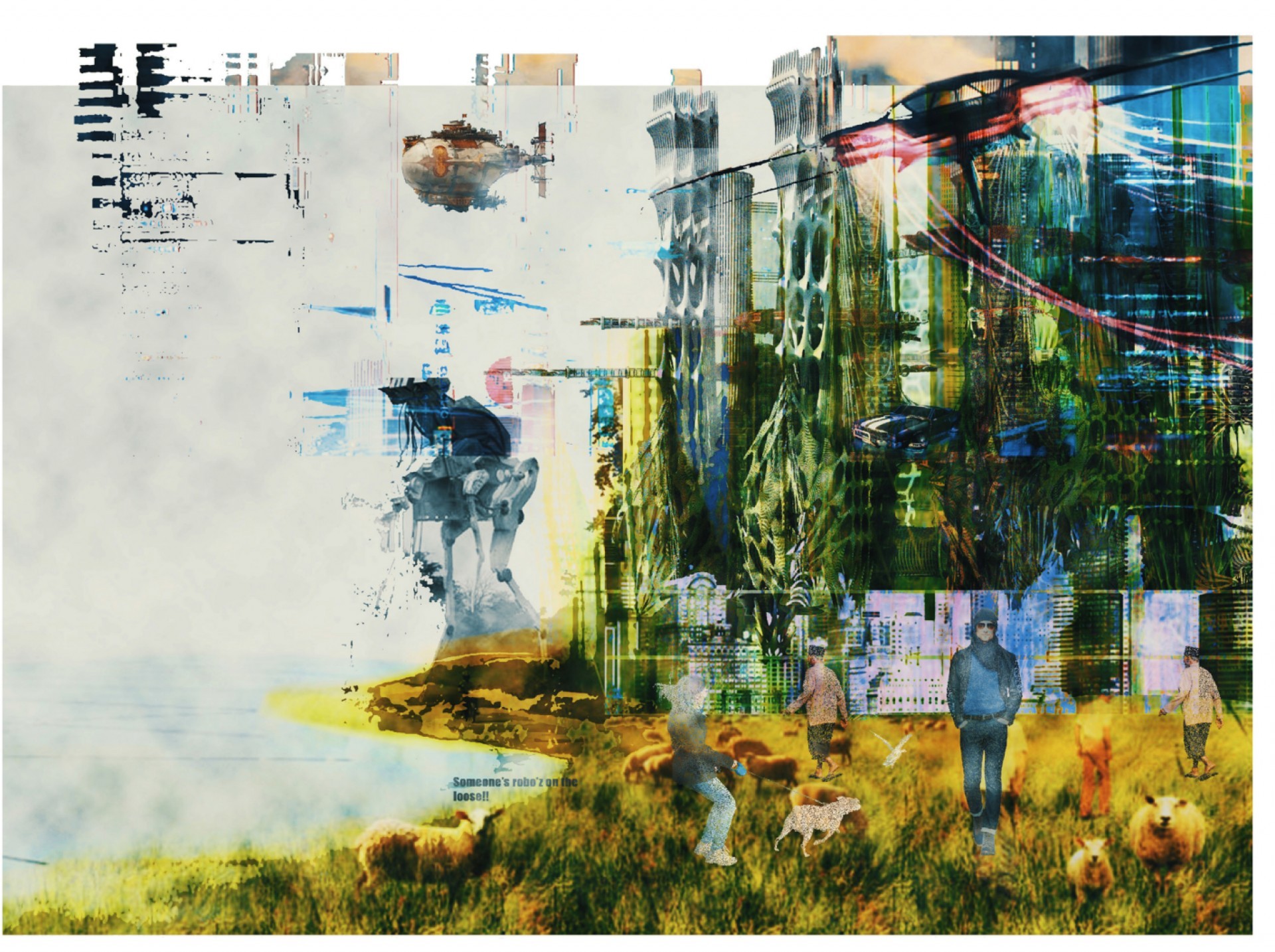
Archipelago: A sustainable future build concept
- Location: Manchester, United Kingdom (UK)
- Area: Liverpool, United Kingdom
- Year: 2021
- Work Type: Student
- Institute: Manchester School of Architecture
- Status: Conceptual
- Team Members: Seenam Bhagat
- Instructor: Dr Richard Brook
2050 is far enough off to imagine, the urban environment will be very different then today but from research and study, we know a few things are likely, the Rise in sea level due to melting ice sheets caused due to gasses, active volcanoes and other reasons will leave us with very less amount of land then we acquire today.
Three quarters of people will move to higher grounds, latitudes that could withstand flooding scenarios due to higher topography, the density and population of these regions will rise drastically and city residence will have access to less natural resources than today. Demand of power and energy consumption will increase, division/ barrier in between industrial/ residential and commercial sectors will also shrink, demanding for new ways to purify city air, Changing the basic morphology and functioning of a building as we know today.
The project is based on Liverpool, Its a large scale infrastructure project based on analytical calculations and data sets, that are used to develop the project. The Project looks at future scenario in Liverpool caused due to flooding by rising sea levels; How it will impact the morphology and urban dynamics of a city with shrinking land. Various mapping exercise, research and algorithm was developed to understand the context related to urban elements to design a sustainable build concept that is able to support the cities and people of tomorrow. The sustainability aspect is characterised in the form of green/ Renewable form of energy whereas smart integrative system is supported by vertical public infrastructure and smart façade to regulate/ absorb CO2, refreshing the city air.
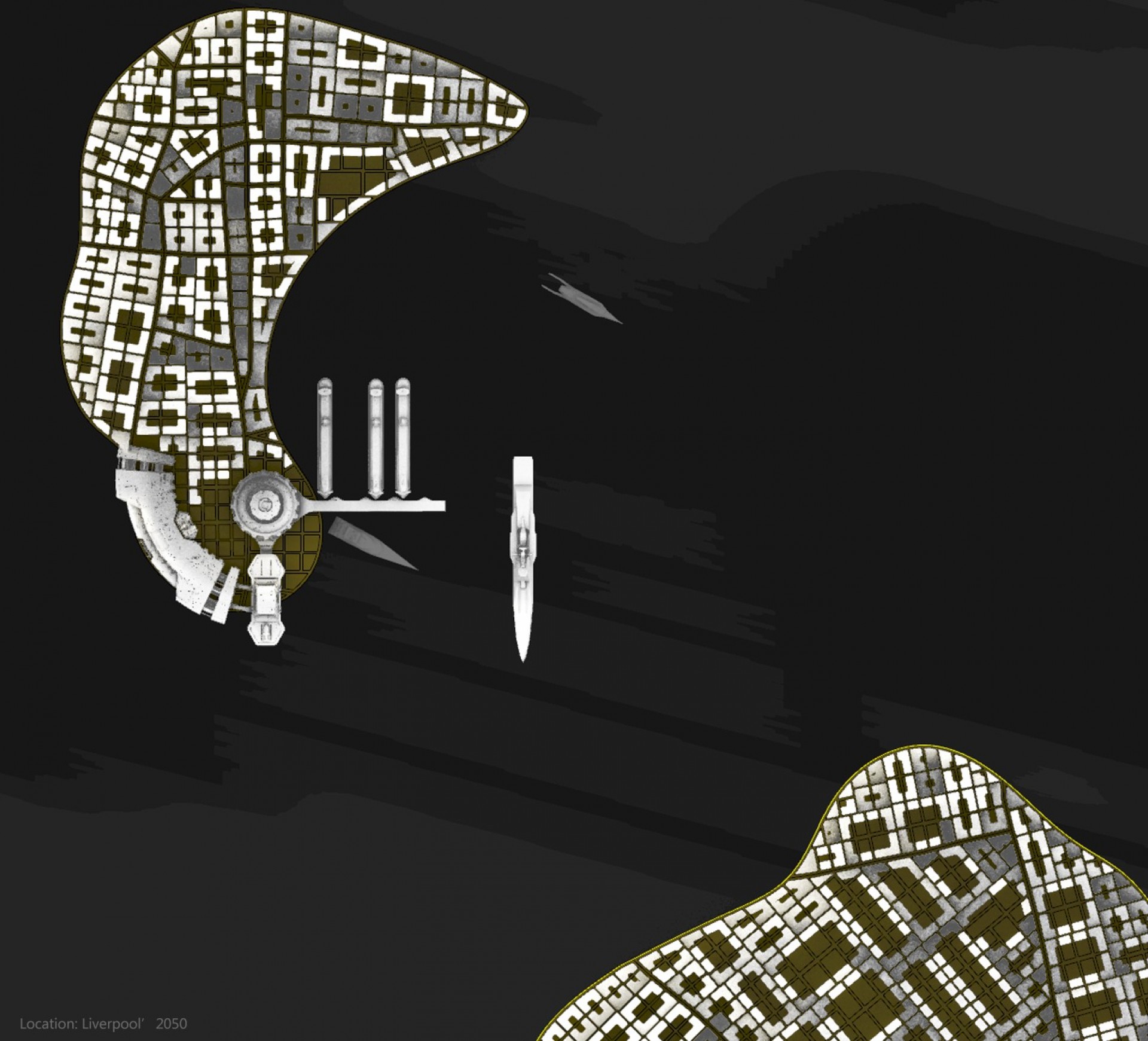 Visual: Liverpool as Archipelago
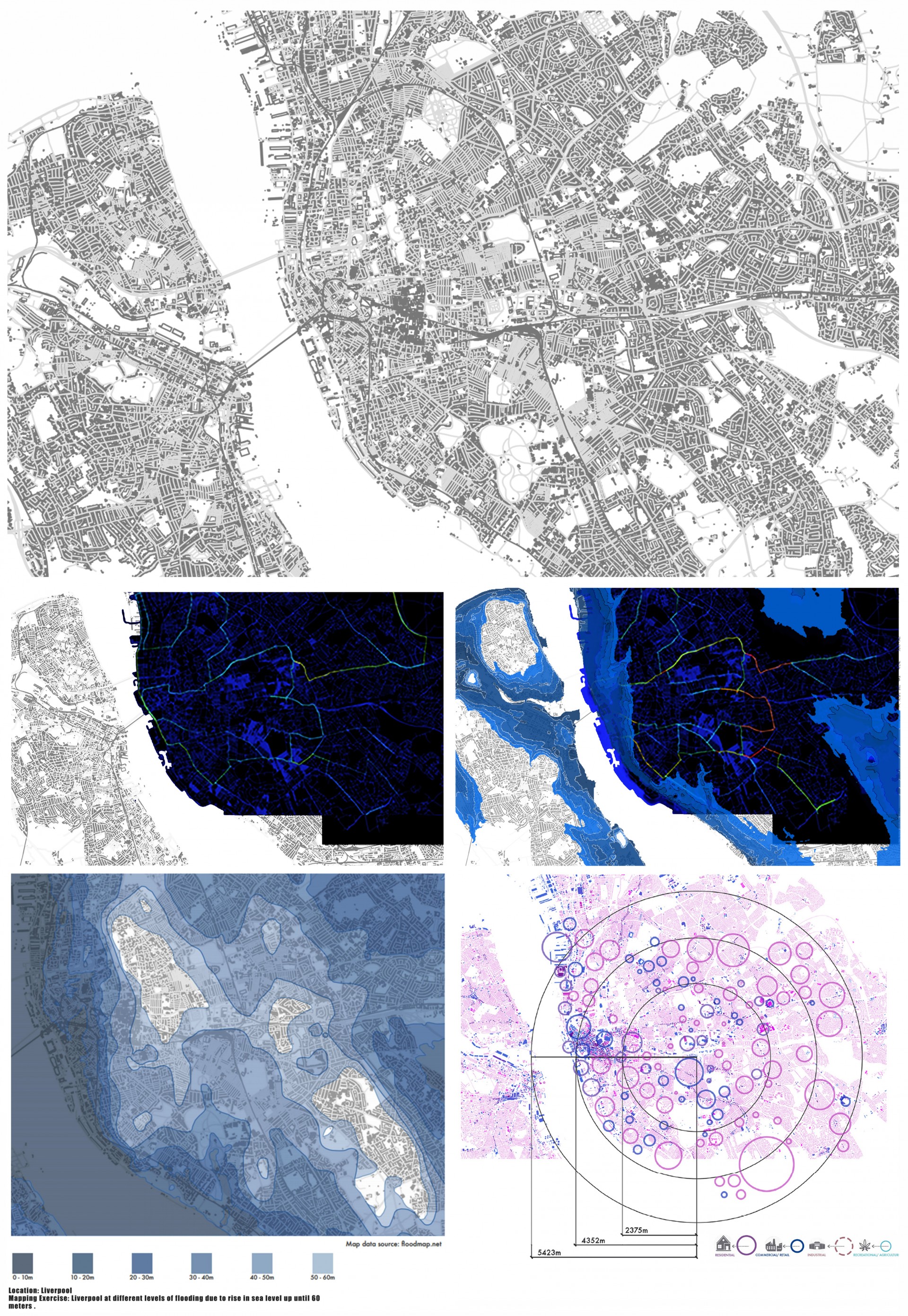 Mapping Exercise
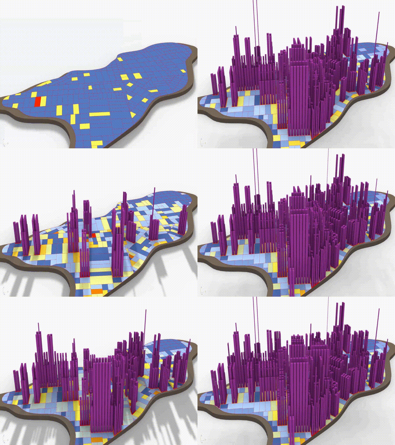 Computation Exercise: Urban elements used as rule based unit to create urban parameters to configure footprint with respect to changing morphology
 Combined Output: Integrating analytical parameters to create model
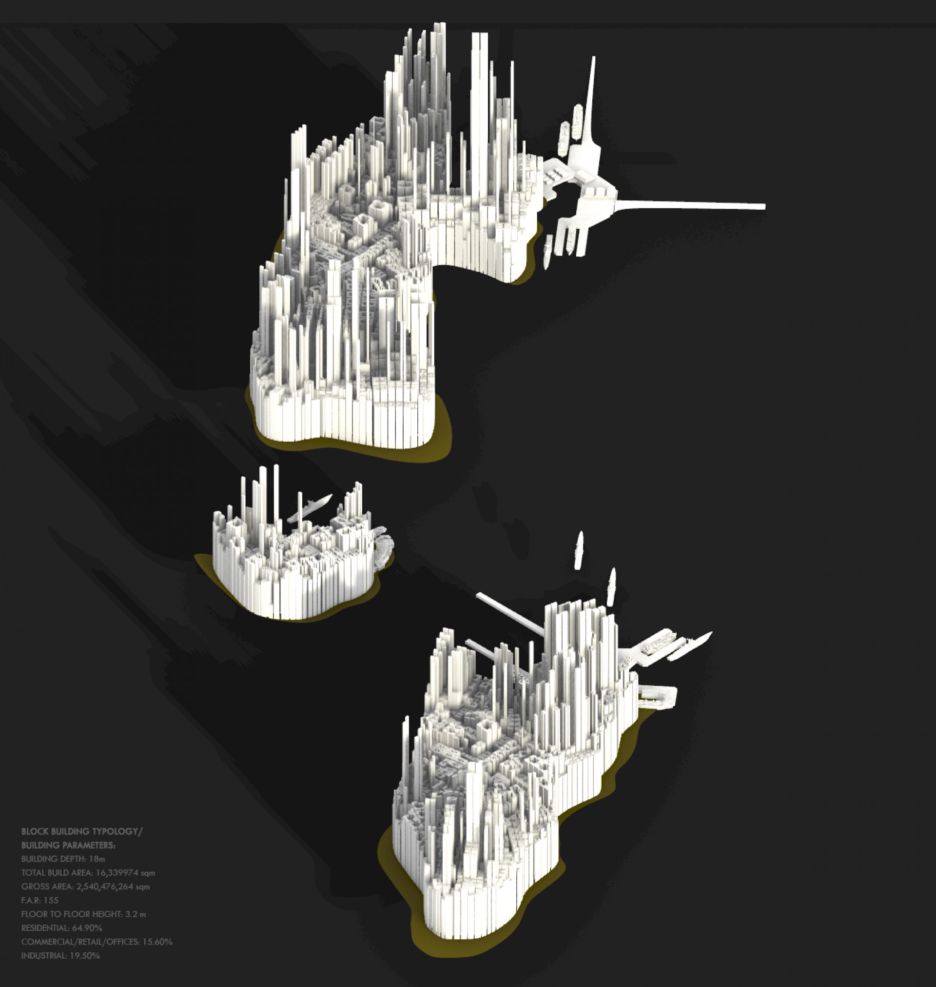 Visual: Islands
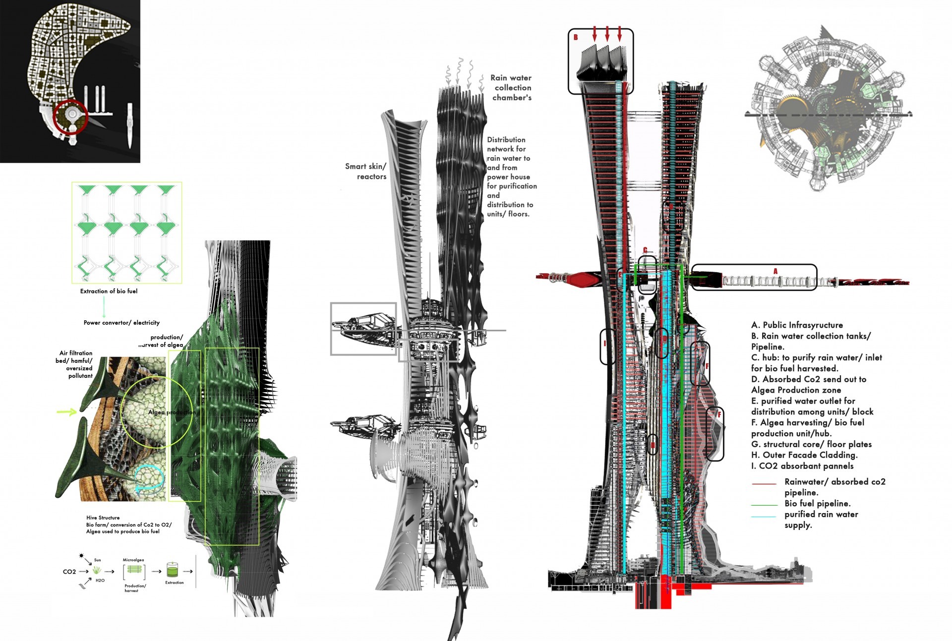 Visual: Sustainable building concept
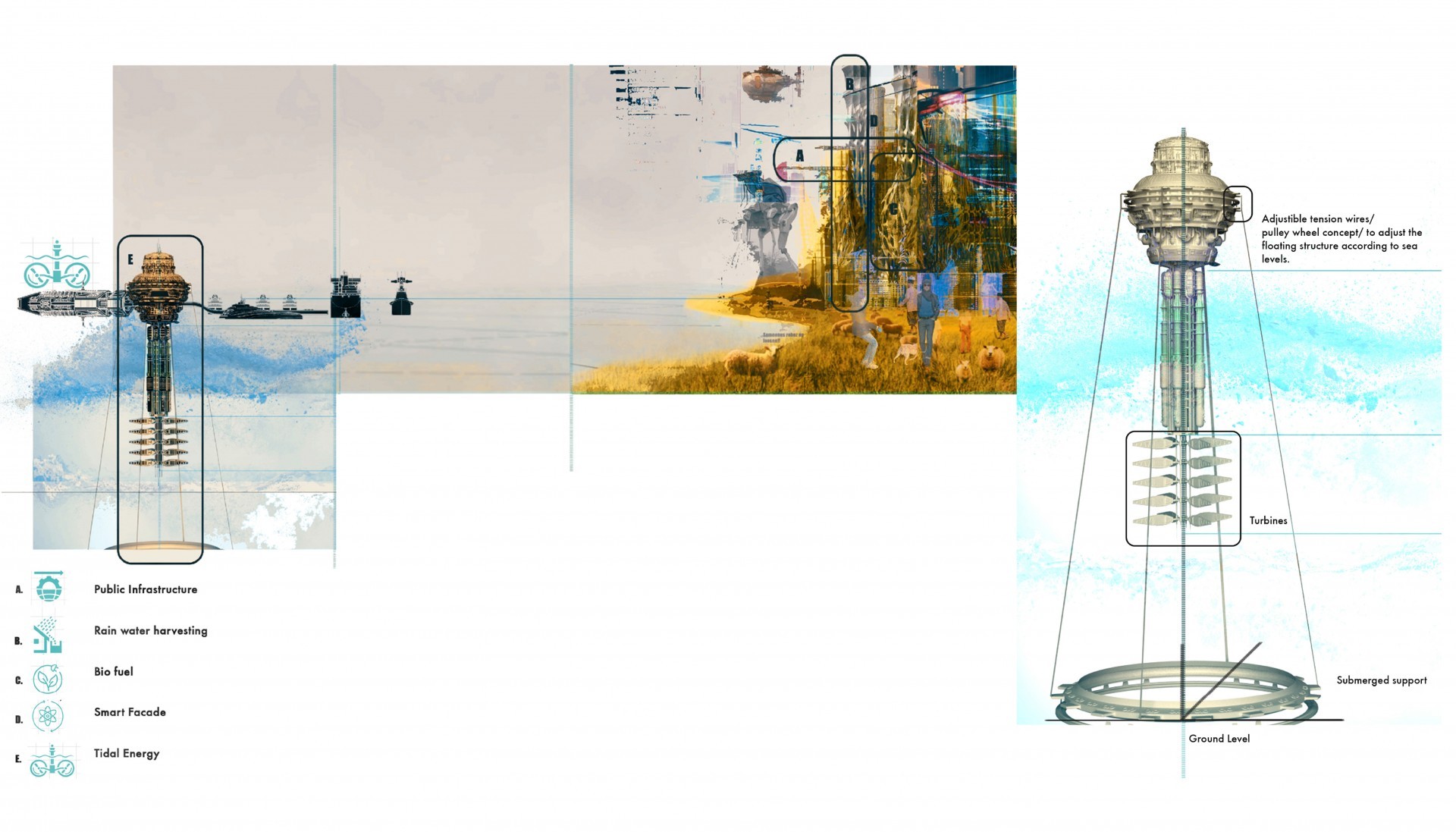 Visual: Tidal power plant hub
